
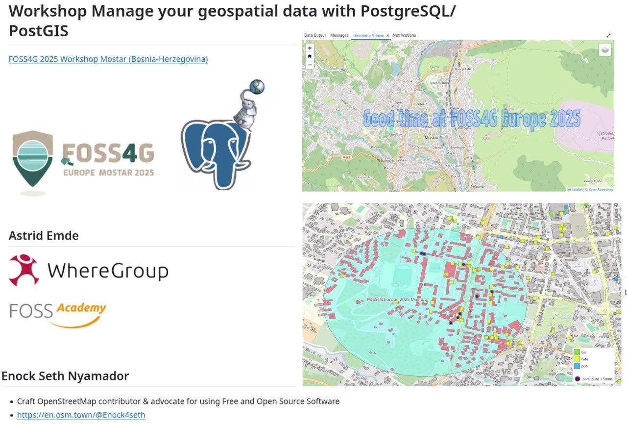
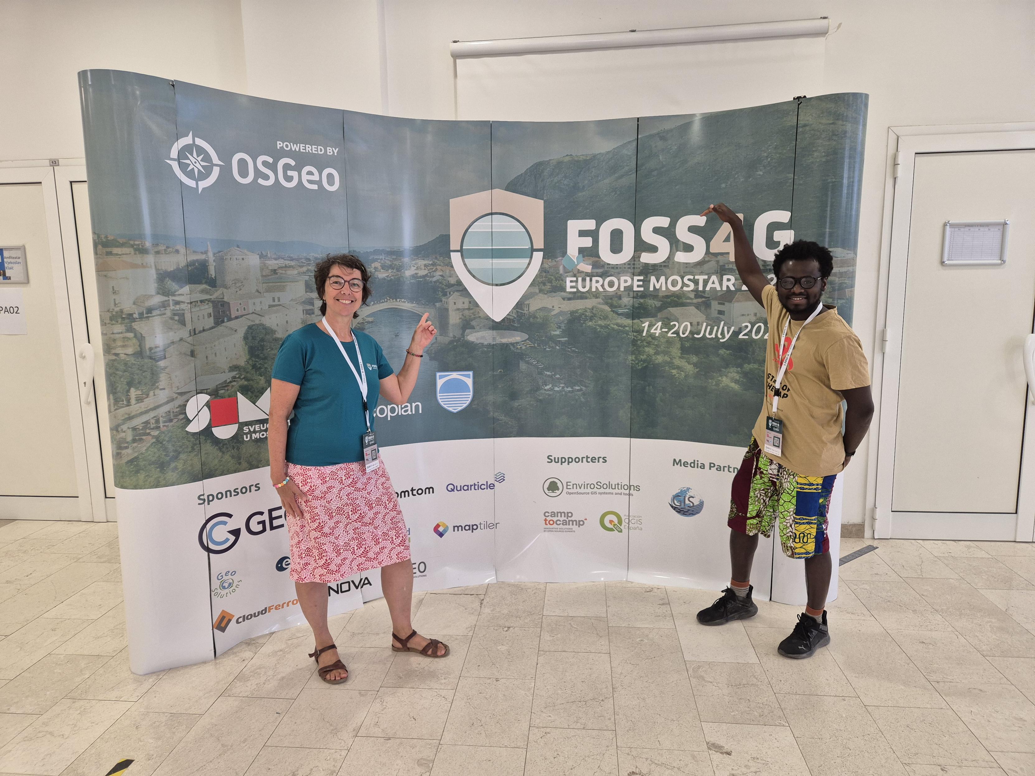
Discover PostGIS Functions with ST_Letters
#PostGIS is full of superpower. Get to know the ST_Letters function that allows you to visualize the results of PostGIS functions with letters. You will like it!
Find some SQL examples, introduction, #QGIS project and video at https://talks.osgeo.org/foss4g-europe-2025/talk/PNYWM8/
It was fun preparing & presenting this feature at #FOSS4GE2025.
#FOSSGIS #FOSS4G #OSGeo #FOSS4GE
GIF


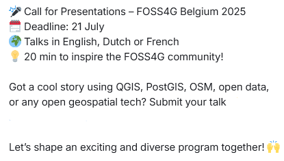
 Call for Papers extended!
  So are we!
  **8 August 2025**
 Talks, lightning talks, workshops
  In English, French or Dutch
  10 years of
  Submit: [
 Questions? info@foss4g.be


 para publicar mapas com
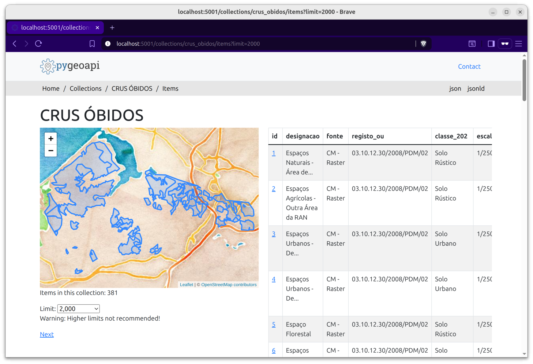


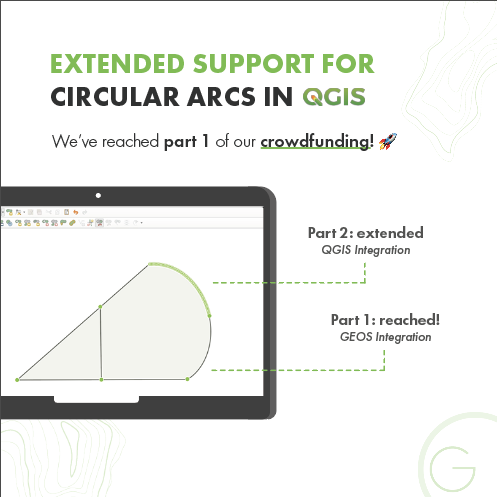
 We've extended the campaign until the end of July!

 FOSS4G Belgium 2025
 Brussels |